☰


SUBSCRIBE
Explore Gee's Bend
Click on the pins to explore Gee's Bend
Hover on the pins to explore Gee's Bend
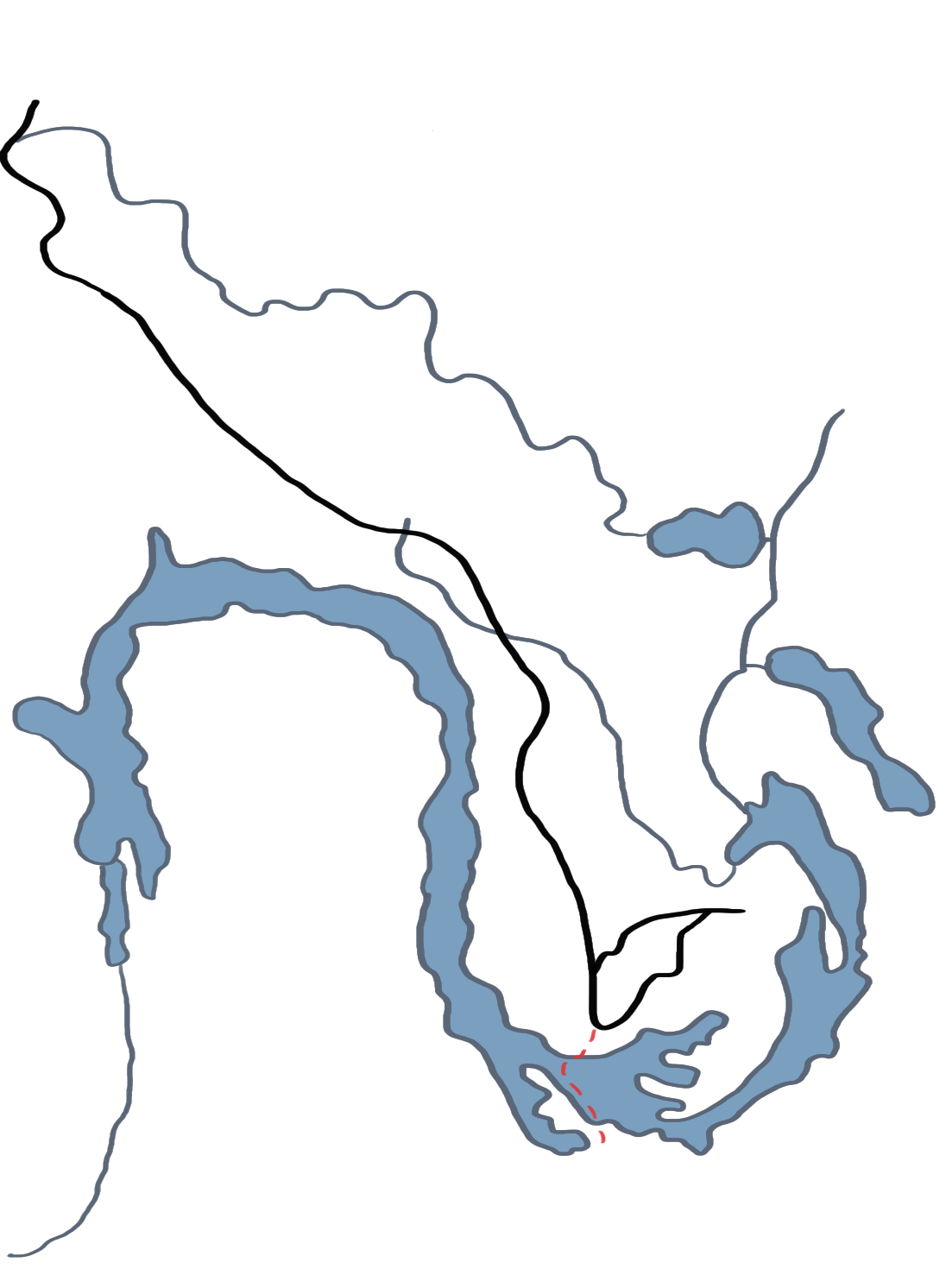
County Road 29
The only road in and out of Gee’s Bend. When the ferry was shut down for 35-odd years, they had to travel around the entire river to get to Camden.
Alabama River
The body of water that separates Gee’s Bend from Camden and the rest of Wilcox County.
Gee's Bend
The nearly all-black enclave besides Camden, whose residents are descendants of the former-slaves that lived here. Its technical name is Boykin, Alabama.
Ferry Route
The path the ferry takes from Gee’s Bend to Camden, now that the ferry services have been restored.
Camden
The nearly all-white town beside Gee’s Bend that Benders must go to for most goods and services. They removed the ferry connecting the two towns in the early 1960s.